 GeoRankle.io
 Daily Geography Games
GeoRankle Daily Geography Quiz Games
Seven free brain-teasing geography games, refreshed every day. Rank and sort countries by GDP and population, guess the mystery country from clues, recreate a flag's missing colour, match name, flag and shape, or size one country against another.
Frequently asked questions
Are the games free?
Yes, all seven games are completely free. There is no account, no sign-up and nothing to install: everything runs in the browser and works the same on a phone as on a desktop. Your streak and statistics stay in your own browser.
When do new puzzles appear?
New puzzles do not follow your own local clock. They roll over on three fixed schedules: 22:00 UTC for Europe and Africa, 05:00 UTC for the Americas, and 15:00 UTC for Asia and Oceania. That is midnight in UTC+2, US Eastern time and Japan time respectively, and the hours stay the same all year because they do not shift with daylight saving.
Does everyone get the same puzzle?
Yes. Everyone playing the same region on the same day gets exactly the same countries, categories and hidden answers, which is what makes comparing scores worth anything. You can share your result as a spoiler-free summary when you are done.
Which game should I start with?
GeoRankle if you like country statistics, Geodle if you enjoy Wordle-style deduction, and GeoPaint if you know your flags. GeoHigher is the quickest of the seven and makes a good warm-up, while GeoConnections is the most demanding because it mixes names, flags and map shapes. GeoSize suits you if you like sizing things up by eye.
Can I play just one continent?
Yes. Alongside the worldwide version, every game has Europe, Americas, Africa and Asia editions, each with its own daily puzzle. Regional rounds draw on a smaller pool of countries, so they are a gentler way in if the worldwide version feels too hard.
How does GeoRankle work?
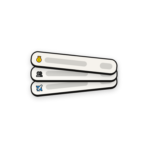
Countries are revealed one at a time and you assign each to the category where it ranks highest worldwide, such as GDP per capita, population, land area or coastline. The closer your pick is to the country’s real best category, the more points you score, up to 800 in a full round. Play GeoRankle, the country ranking game
How does Geodle work?
Geodle is a geography Wordle. A mystery country is hidden each day and you name any country to guess. Each attempt returns the continent, the compass direction and the distance to the target, plus whether its GDP per capita, population, land area and urban population are higher or lower than your guess. Play Geodle, the mystery country game
How does GeoPaint work?
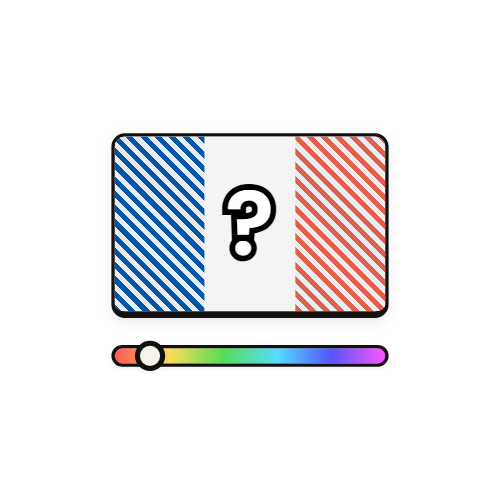
Each day brings country flags with one colour missing. You rebuild that colour with hue, saturation and brightness sliders, and the closer your match, the more points you earn, up to 100 for a single flag. It rewards knowing the exact shade, not just which colours a flag contains. Play GeoPaint, the flag colour game
What are GeoSortle, GeoHigher and GeoConnections?
GeoSortle gives you a group of countries and a statistic, and asks you to order them from highest to lowest. GeoHigher shows two countries and asks which ranks higher, with a bonus for consecutive correct answers. GeoConnections hides four countries among sixteen tiles, each appearing as a name, a flag, a border outline and a statistic. Play GeoSortle, the country sorting gamePlay GeoHigher, the higher or lower country gamePlay GeoConnections, the country matching puzzle
Which statistics do the games use?
Twenty-three categories in total, among them GDP per capita, population, life expectancy, land area, urban population, birth rate, forest cover, CO2 emissions, renewable energy, inflation, unemployment, tourism arrivals and population density. Each game draws on a different subset.
What is GeoSize and how does it relate to Size It Up?
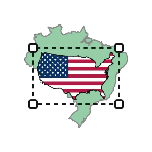
GeoSize is our take on Size It Up, played with countries instead of abstract shapes. Two silhouettes start out covering the same area on screen, and you resize one until it is as big as it really is next to the other. Every outline is drawn on an equal-area projection, so Greenland finally stops pretending to be the size of Africa. Play Size It Up with countries